
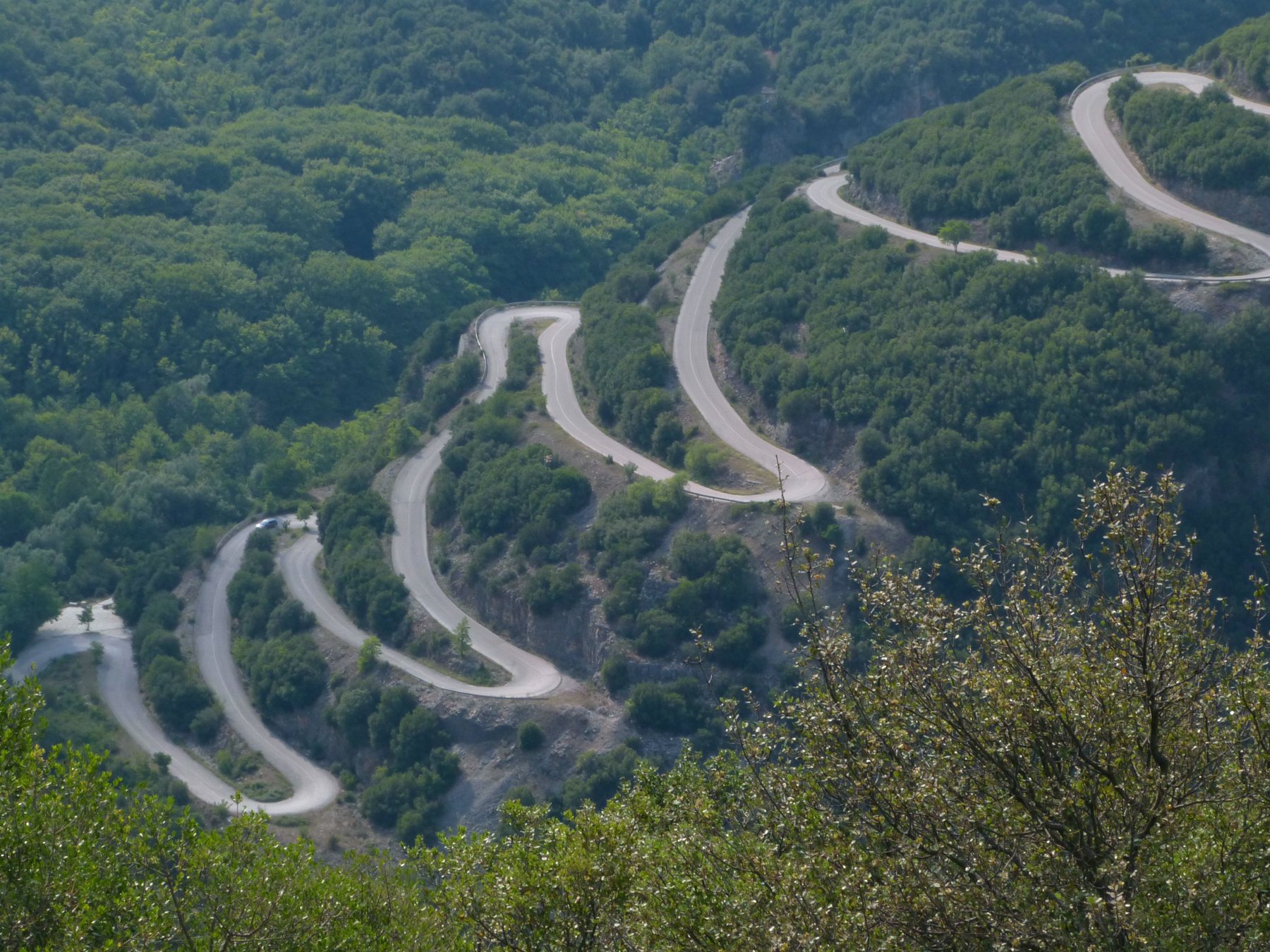
Aristi to Papingo is 11.3 km: a drop to the Voidomatis bridge, then 22 hairpins, most of them stacked in the first two kilometres above the river. A guide to the most photographed road in Epirus: corners, views, seasons, stops.
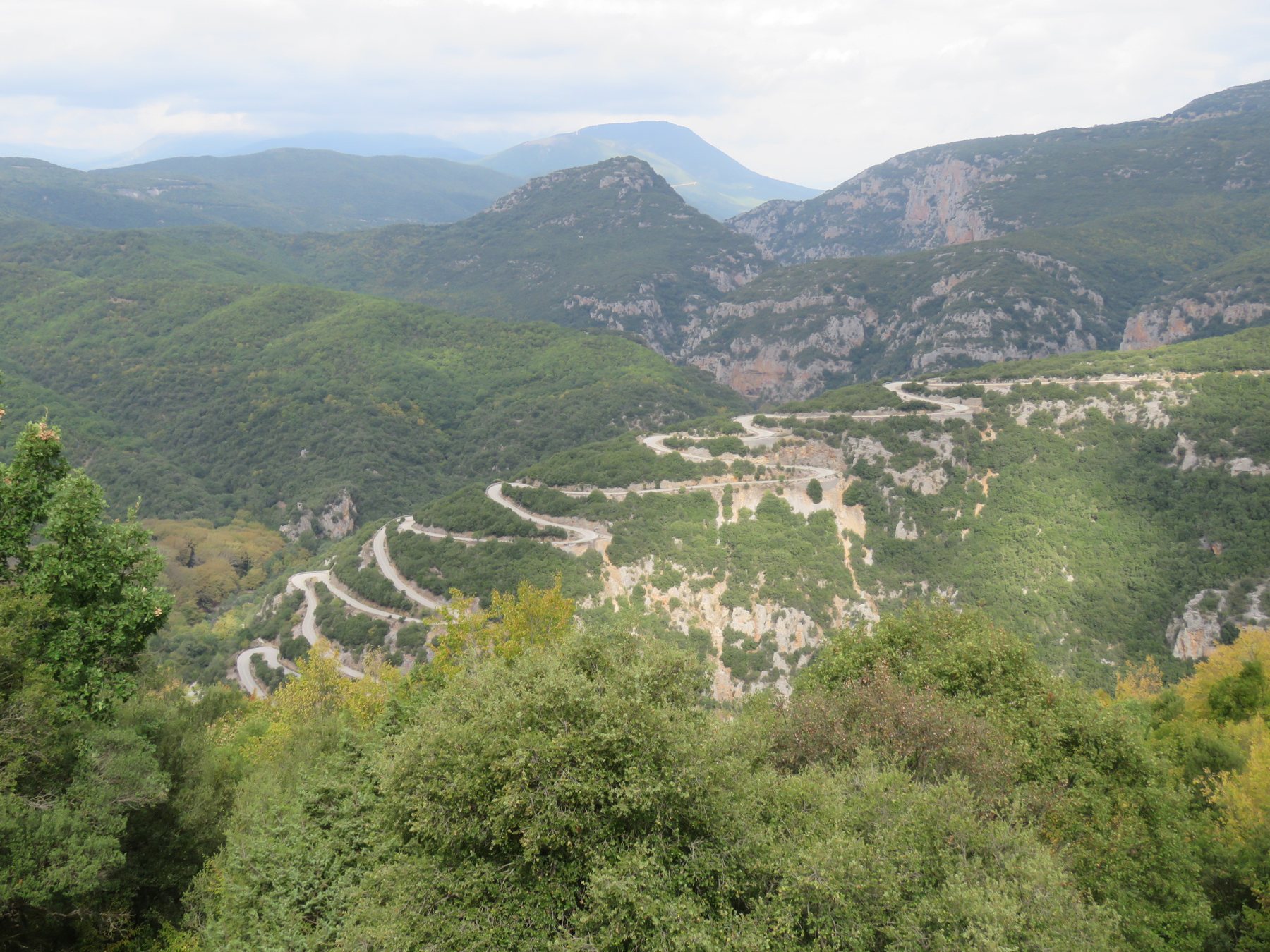
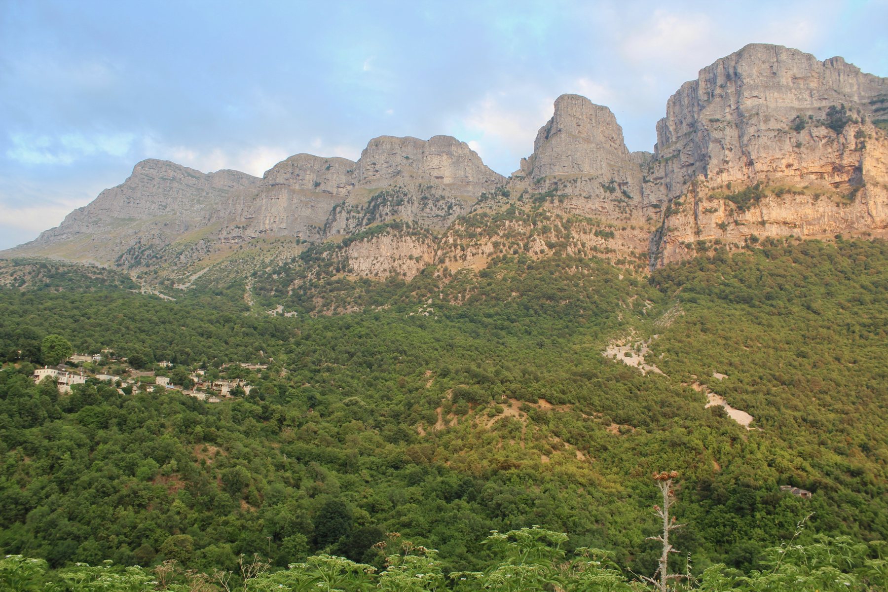
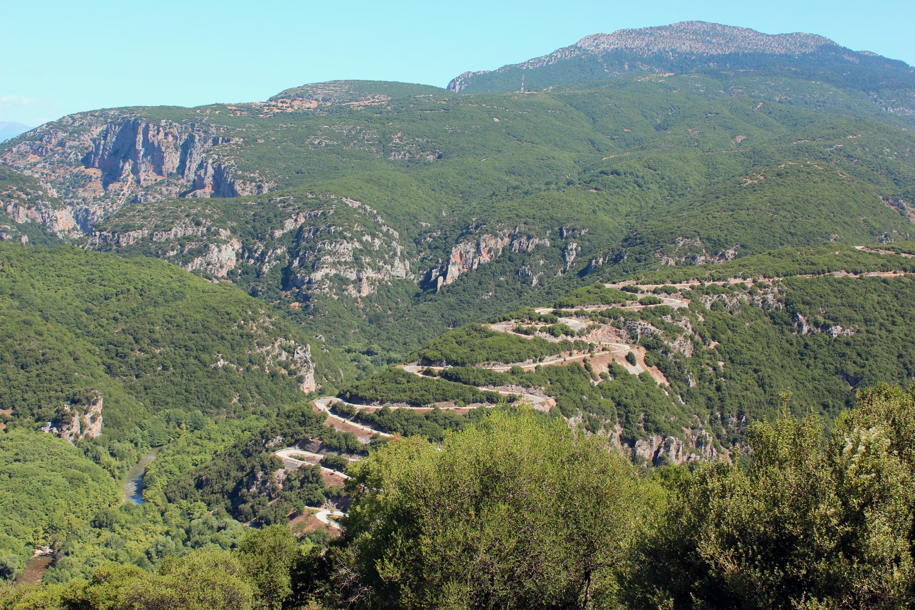
There is a road in Zagori that you see before you drive it. From the slope opposite, under the towers of Astraka, the asphalt climbs like a zigzag drawn with a ruler: hairpin on hairpin, each one directly above the last, and below them the green water of the Voidomatis. It is the road from Aristi to Papingo, and for us it is one of the finest stretches of tarmac in the country.
It is not long. It is 11.3 km to Megalo Papingo, a little more to Mikro, and it ends in a dead end in front of a church. But those kilometres hold one of the cleanest rivers in Europe, the entrance to the deepest gorge in the world relative to its width, two stone villages with seven hundred years of history and a mountain that looks like the Dolomites. 4drivers.gr put it simply: "Our own Stelvio Pass?".
The road
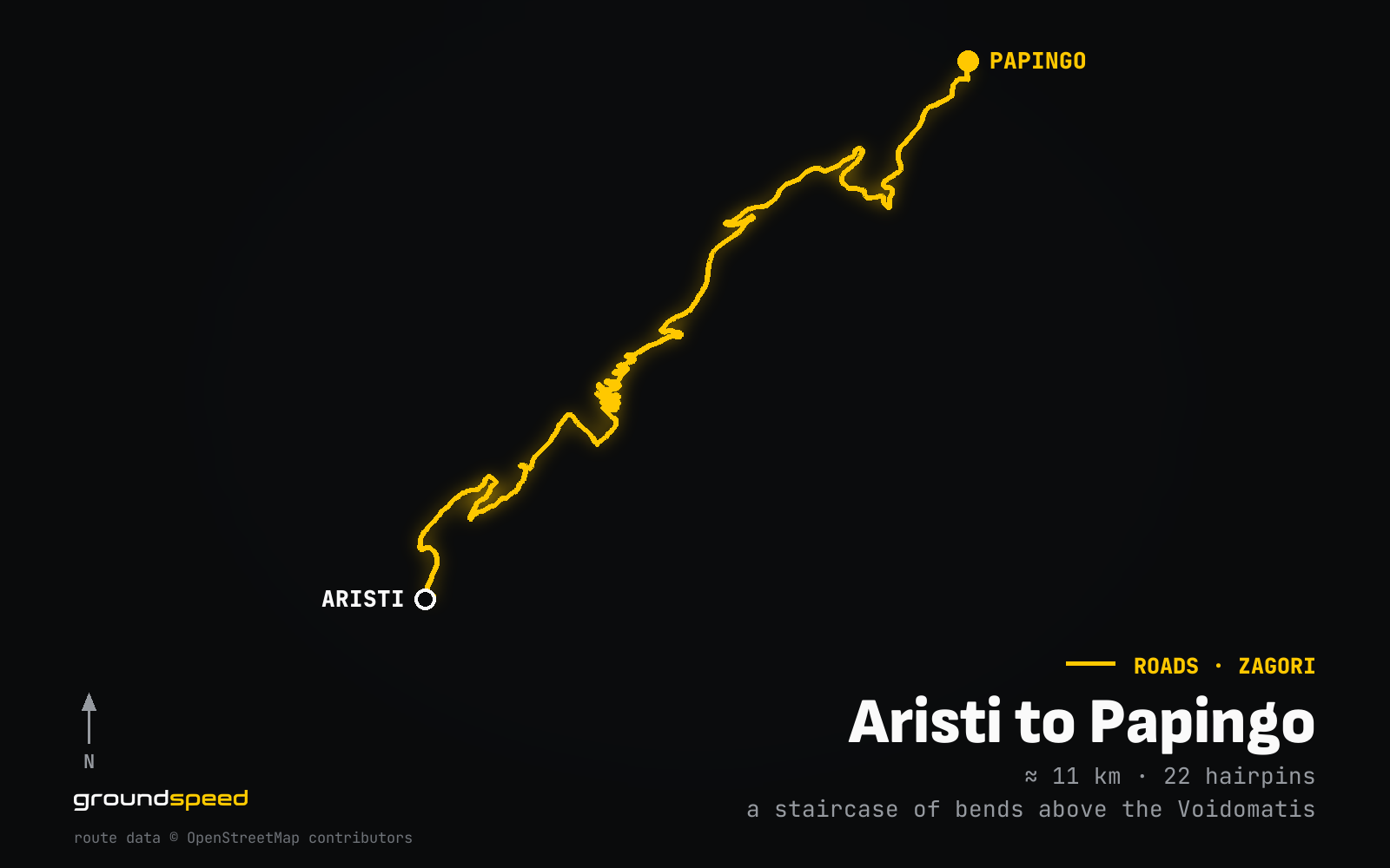
You start in Aristi, a village of central Zagori about 60 km north-west of Ioannina. You will see the destination spelled three ways: Πάπιγκο in Greek, Papingo or Papigo in Latin script, Papigko on older maps. It is the same place: two villages, Megalo and Mikro Papingo, built at 960 m on the western slopes of Mount Tymfi, inside the Vikos-Aoos National Park.
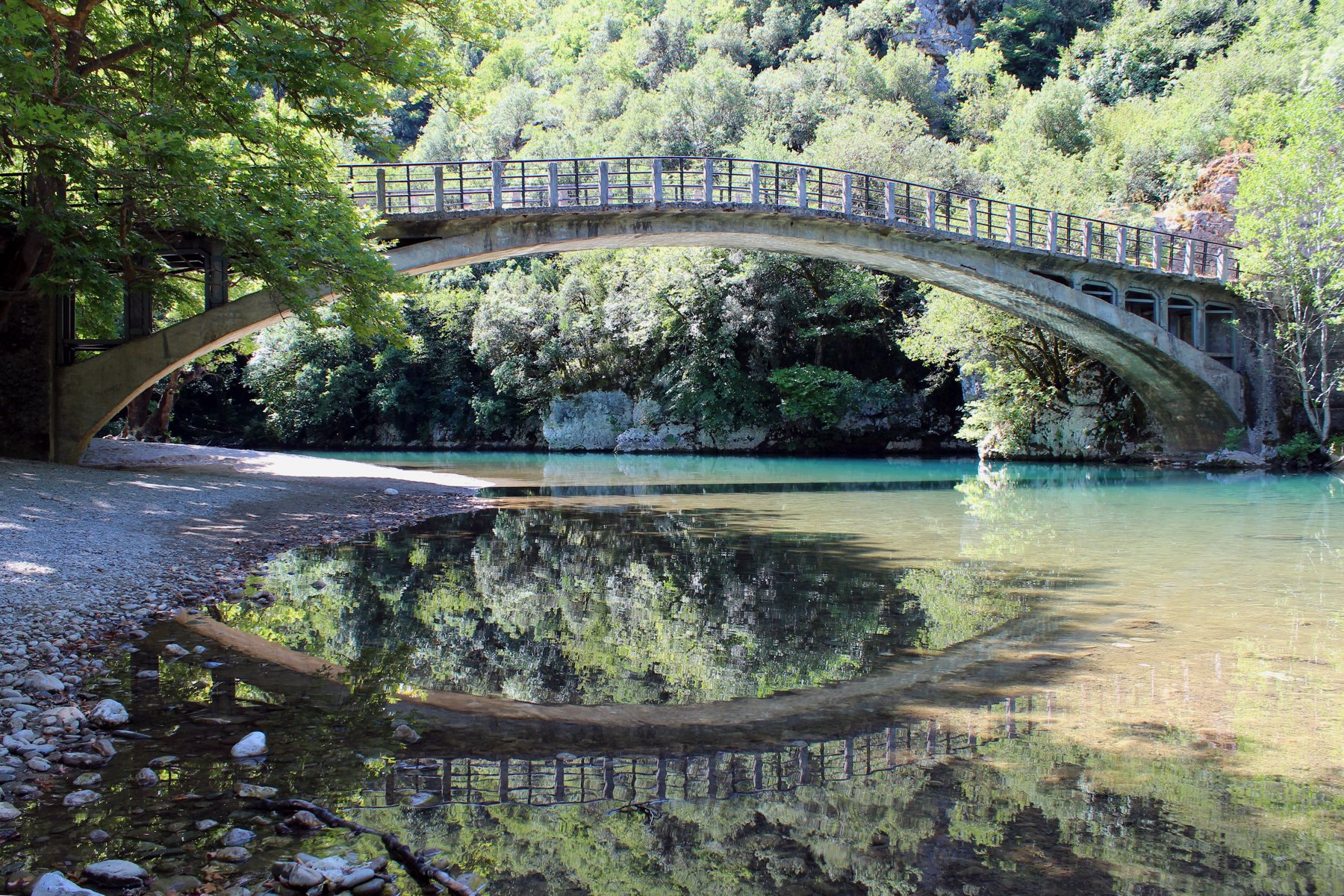
In Aristi you turn for Papingo and, instead of climbing, you descend. The road loses about 200 m of altitude down to the Voidomatis bridge. That descent is the price of the route: on the way back you climb it. The Voidomatis is a tributary of the Aoos, only 15 km long, rising below the village of Vikos, and it is one of the cleanest rivers in Europe. Its water does not exceed 4 degrees even in summer. The name comes from "voidi" (ox) and "mati" (eye): clear blue eyes, like its water.
After the bridge the climb begins, and it begins abruptly. You gain more than 500 m of altitude up to the villages.
All the action is in the first two kilometres above the river. That is where the staircase of hairpins is: tight 180 degree bends that climb the slope in successive tiers. From there on the road stays twisty, but the hairpins thin out. From the sixth kilometre Tymfi opens up ahead of you, the massif with the vertical slabs that would fit in the Dolomites. The asphalt brings you to Megalo Papingo, where for a few metres it turns to cobbles, drops some thirty metres and becomes asphalt again towards Mikro Papingo. There, in front of the church, it ends abruptly. The road is a dead end and you return the same way.
Corner by corner: 22 hairpins
We counted on the map 22 hairpins from the Voidomatis bridge to Megalo Papingo. Most of them are stacked in the first two kilometres above the river, one on top of the other, and those are the ones you see from the slope opposite. Count them yourself on the way up: it is the best way to keep a rhythm.
The asphalt is good and the road is fairly wide for a mountain road, with very little traffic on weekdays. It is not made for speed. It is made for rhythm: second, third, second, with the river shrinking in the mirror.
Papingo: where the road ends
Papingo is first mentioned in an imperial chrysobull of 1325. After 1430, when the region passed to the Ottomans, it became the capital of Zagori, and from the 15th to the 17th century it prospered thanks to the region's privileges. This was also home to the "Vikos doctors", folk healers who gathered herbs from the gorge. Decline came in the 19th century when the privileges were withdrawn, and by the 1980s the two villages were almost deserted. Today 184 people live in Megalo and 39 in Mikro Papingo, and the settlement has been a listed traditional village since 1978.
Above the villages stands Astraka, a peak of Tymfi at 2,436 m, with its "towers", the vertical rock slabs you see from everywhere on the route. From Mikro Papingo the footpath starts for the Astraka refuge at 1,950 m and Drakolimni, the alpine lake at 2,000 m. It is about five hours on foot, so not for the same day as the drive.
The big Zagori loop
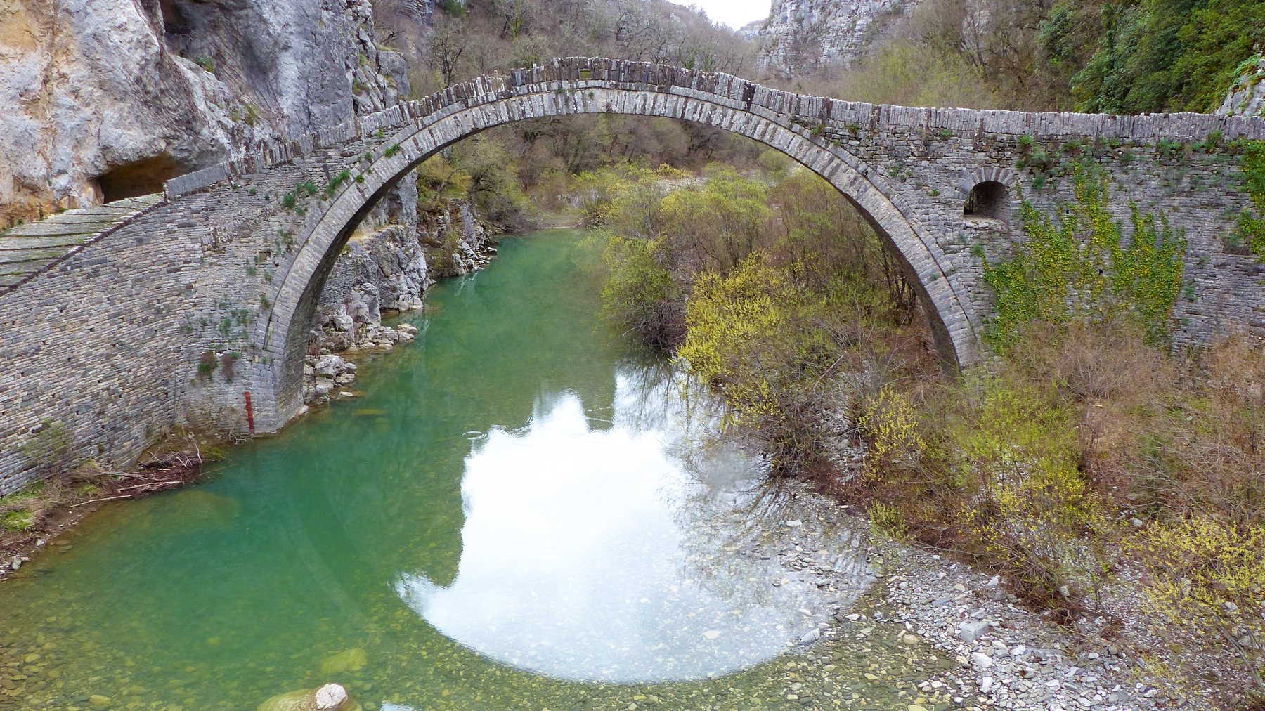
Aristi to Papingo is the most photogenic part, but think of it as one piece of a bigger loop. Zagori has 46 villages, the Zagorochoria, over an area of about 1,000 square kilometres, and since 2023 it has been a UNESCO World Heritage Site. Until the 1950s, when today's roads were opened, the villages were linked by footpaths and arched stone bridges. More than 160 were built, mostly in the 18th and 19th centuries, with donations from merchants living abroad, and many still stand.
The classic motorcycle loop, Ioannina, Zagorochoria, Drakolimni, is about 100 km: tight switchbacks through Vikos, narrow sections, isolation and cold at altitude. motoway.gr sums it up in one line: "There is no reason to hurry here". If you have a whole day, do the big loop: Miliotades, Tristeno, Elatochori, Frangades, Negades, Kipoi, Kapesovo, Tsepelovo, Iliochori, Vrysochori, Palaioseli, Konitsa. Fir and walnut forests, stone bridges, constant changes of altitude and Tymfi always at your side.
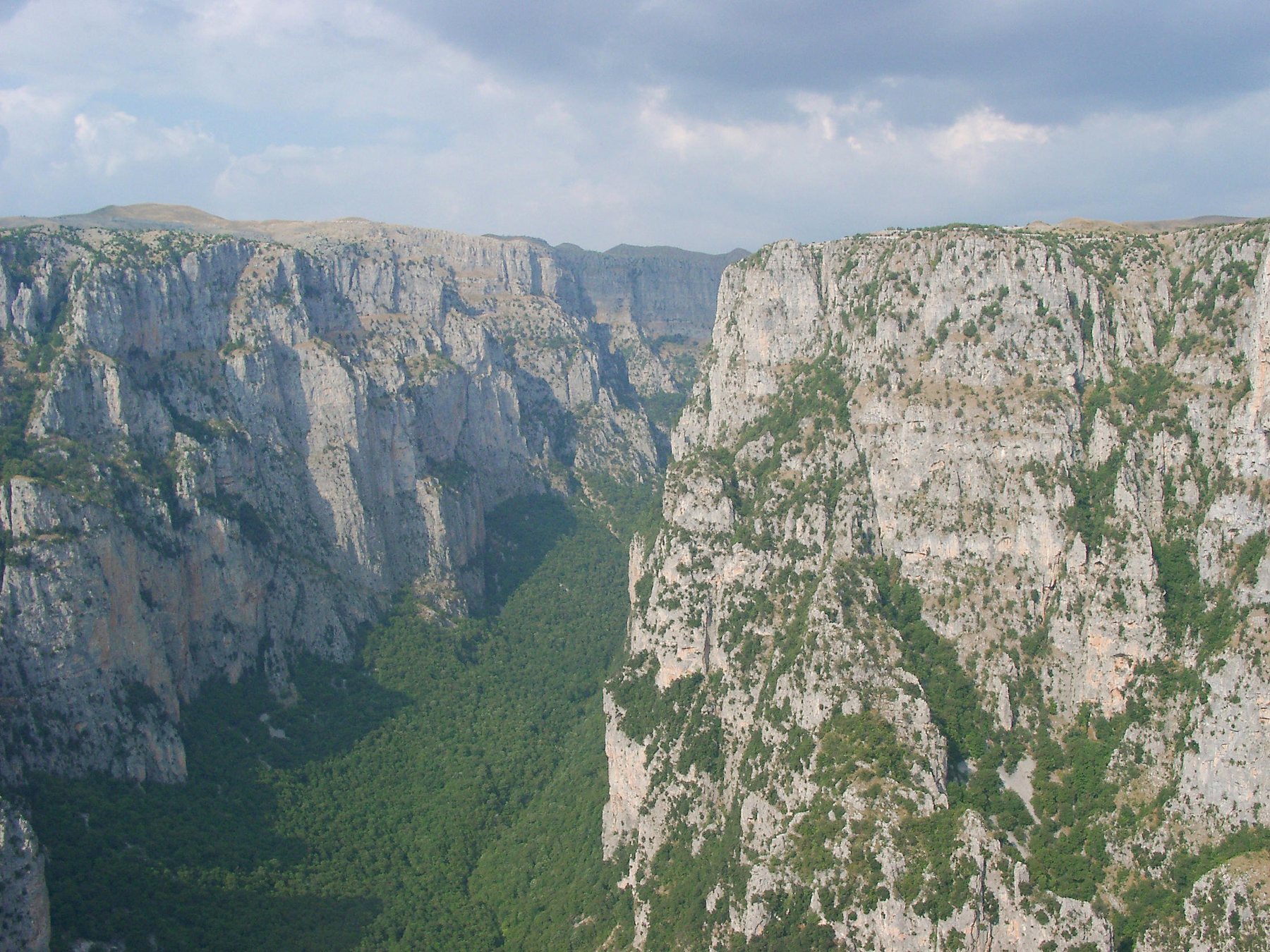
If you have less time, three stops are enough. First, the village of Vikos, only 3 km from Aristi: from its balcony you see the mouth of the gorge and the springs of the Voidomatis. Second, Monodendri, on the other side of the gorge, reached by asphalt from Aristi. From the Vikos balcony near Monodendri the gorge opens 800 metres below your feet. The Vikos gorge is about 12 km long in its main section, reaches a depth of 1,000 m near Monodendri, and is listed in the Guinness Book of Records as the deepest in the world relative to its width. Third, Kipoi and its bridges: the three-arched Kalogeriko or Plakidas bridge and, a little higher up, the single-arched Kokkoris bridge, the hidden gem of the area. To the north, Konitsa is the base town for the Aoos and the Pindos.
When to go
Spring and autumn. Go on a weekday in May, June, September or October: the road is dry, the villages are quiet and the hairpins are yours. Autumn is our favourite, because the deciduous forests around Papingo change colour and the traffic drops. In summer the road is open and dry, but Papingo fills with hikers and families, so expect more cars on the hairpins and in the narrow village lanes.
In winter the picture changes. The area gets heavy snowfall and the Zagori passes can only be driven with chains. The snow-covered Zagorochoria are among the finest winter destinations by car, but go only with chains in the boot and ask about the state of the road before leaving Ioannina.
What to watch out for
It is a narrow road, not a national highway. Two cars can pass on the hairpins, but a van or a tour bus coming uphill takes the whole corner. Do not cut the hairpins on the inside. The road is a dead end, so whatever goes up comes back down: descending you will meet those climbing, and the other way round.
The asphalt is good along the whole length. Inside Megalo Papingo there is the cobbled section: stone, not asphalt, on a slope. It is slippery in the rain.
You are inside a national park. The Vikos-Aoos National Park is one of the last refuges of the brown bear in Europe, and livestock graze on the open slopes. In the villages the cobbled lanes are narrow and parking is limited. There is no fuel station on the route: fill up in Ioannina or Konitsa.
Where to stop
The Voidomatis bridge, before the climb begins. It is everyone's first stop, and next to it there is a spot where you can get down to the river. The water, remember, is at 4 degrees.
The Kolymbethres, between Megalo and Mikro Papingo, a few metres from the road. They are natural basins carved into the limestone by the Rogovos stream as it comes down from Tymfi. In the old days people blocked the openings and turned them into small pools. Do not miss them, they are not far.
The kafeneio in Megalo Papingo, with a view of the mountains, is the classic stop. And Mikro Papingo, where the asphalt ends: you park, walk the cobbled lanes and look up at Astraka.
How to get there
From Ioannina: take the road towards Konitsa and a few kilometres after Kalpaki turn right for Aristi. Papingo is about 60 km from the city. The Zagorochoria in general are 30 to 100 km from Ioannina, depending on the village.
From Thessaloniki: Egnatia Odos to Ioannina and from there as above.
From Athens: 411 km to Ioannina via Corinth, Patras, the Rio-Antirrio bridge and Arta, then another 60 to Papingo. Sleep in Ioannina and leave Papingo for the next day. The road deserves to be driven rested and in daylight.
Frequently asked
›How long is the Aristi to Papingo road?
11.3 km from Aristi to Megalo Papingo, with more than 500 m of climbing after the Voidomatis bridge. It is a dead end: you return the same way.
›How many hairpins does it have?
22, from the Voidomatis bridge to Megalo Papingo. Most of them are stacked in the first two kilometres above the river.
›Is it open in winter?
There is no official closure, but the area gets heavy snow and the passes can only be driven with chains. Ask about conditions before leaving Ioannina.
›How far is Papingo from Ioannina?
About 60 km, via Kalpaki and Aristi.
›What else can I see on the same day?
The village of Vikos, 3 km from Aristi, for the view into the gorge, Monodendri and the Vikos balcony, and the stone bridges at Kipoi.
Related stories
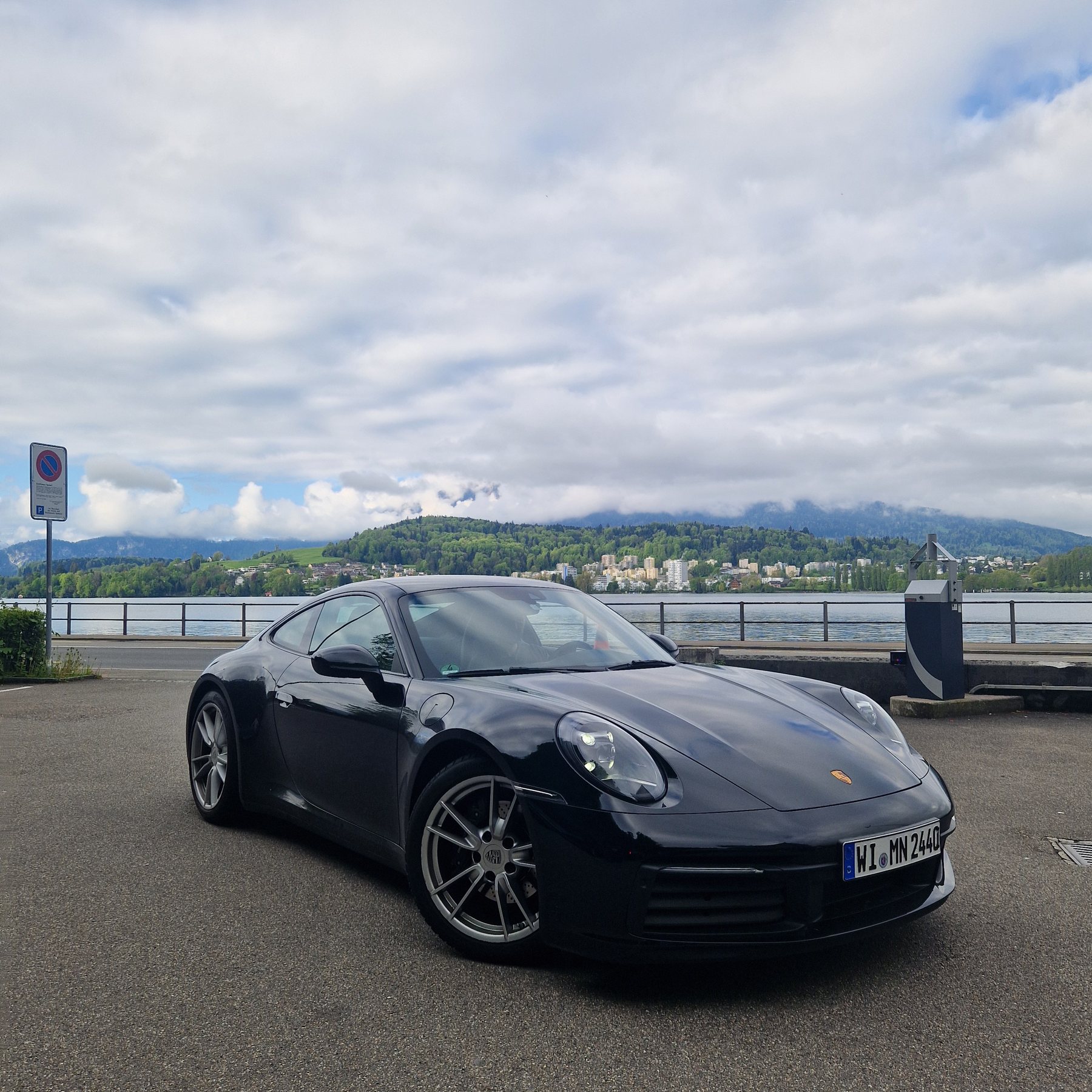
2 BEST FRIENDS, A 911 AND 2,000 KILOMETRES OF MAGIC
Six European countries in three days, in a black 911 Carrera, from Munich to Monaco and back. A trip that took years to make happen and three days for two best friends to live.Read the story
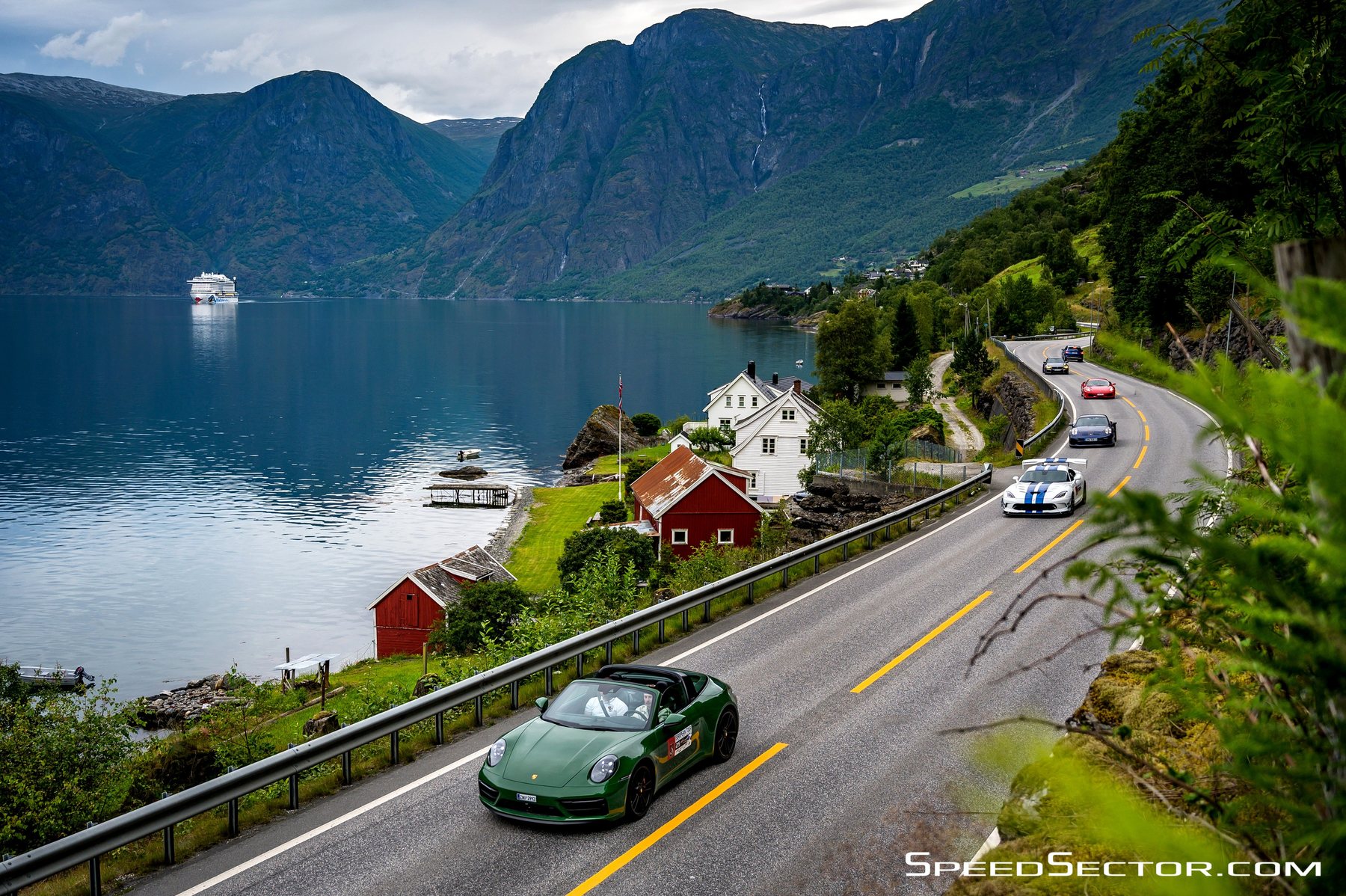
AROUND NORWAY IN 9 DAYS
Nine days of driving, a 911 Targa 4 GTS, fjords that don't fit in any photograph, and a range readout that at one point said 1,026 kilometres, something I never thought I'd see. Norwegian discipline, a 20-degree summer, and a track day to finish, so we'd remember why we went all that way.Read the story
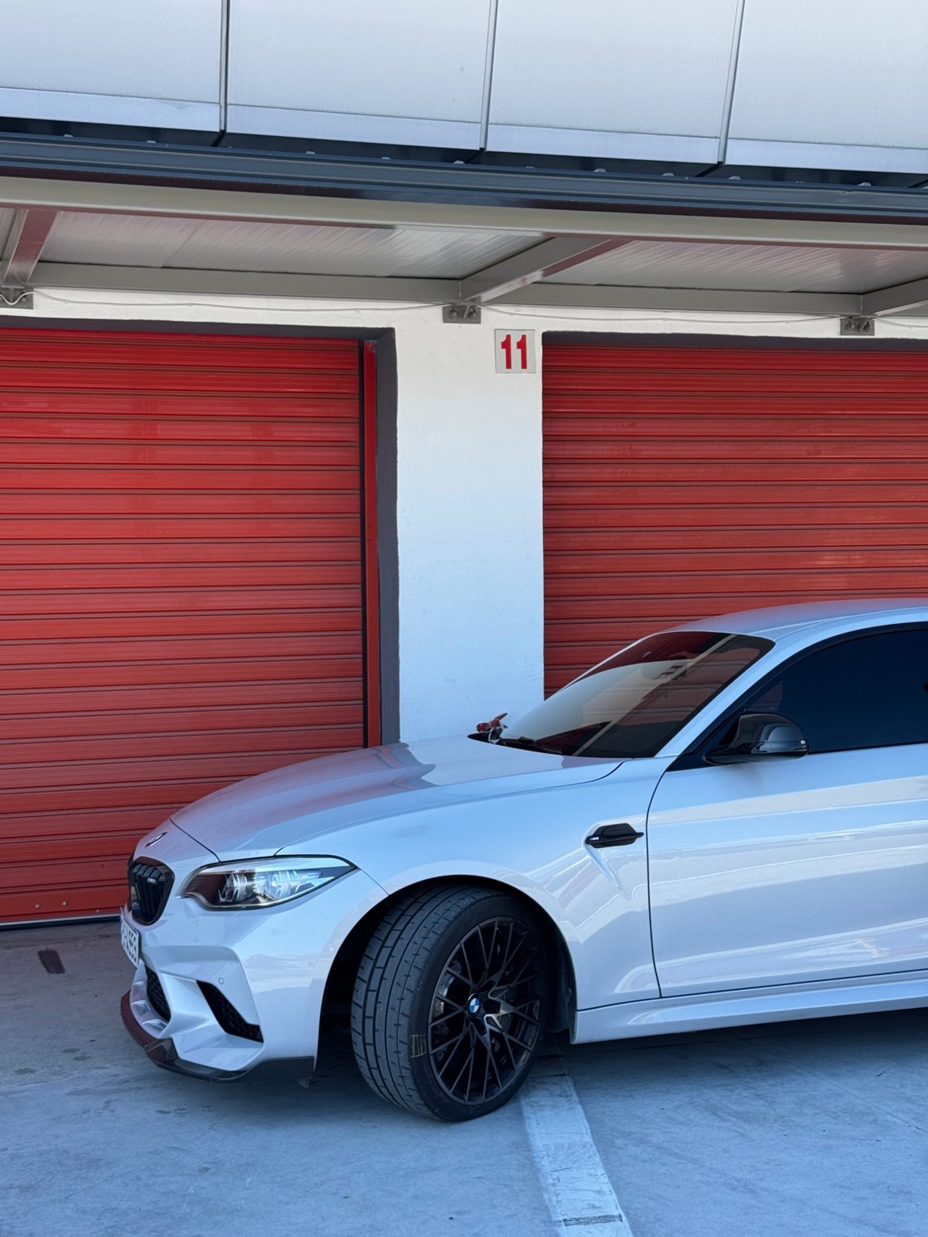
SOME PEOPLE PLAY PADEL ON WEDNESDAYS. WE WENT TO THE SERRES CIRCUIT.
Wednesday morning. A coffee in hand, the key turned, and the road to the Serres circuit. In the end, this Wednesday wasn't so different from tennis, padel or the gym.Read the story
If you'd like to write your own story - submit it here